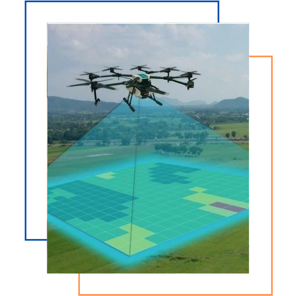
Drone surveying is a method of using drones to take photos and collect data about a site. The data is then used to create 3D models, maps, and other visualizations. Drones can reduce the need for manual surveying, which is more expensive and time consuming. A drone survey refers to the use of a drone, or unmanned aerial vehicle (UAV), to capture aerial data with downward-facing sensors, such as RGB or multispectral cameras, and LIDAR payloads. With a drone, surveyors can capture many more topographic data points, hence more accurate volume measurements.