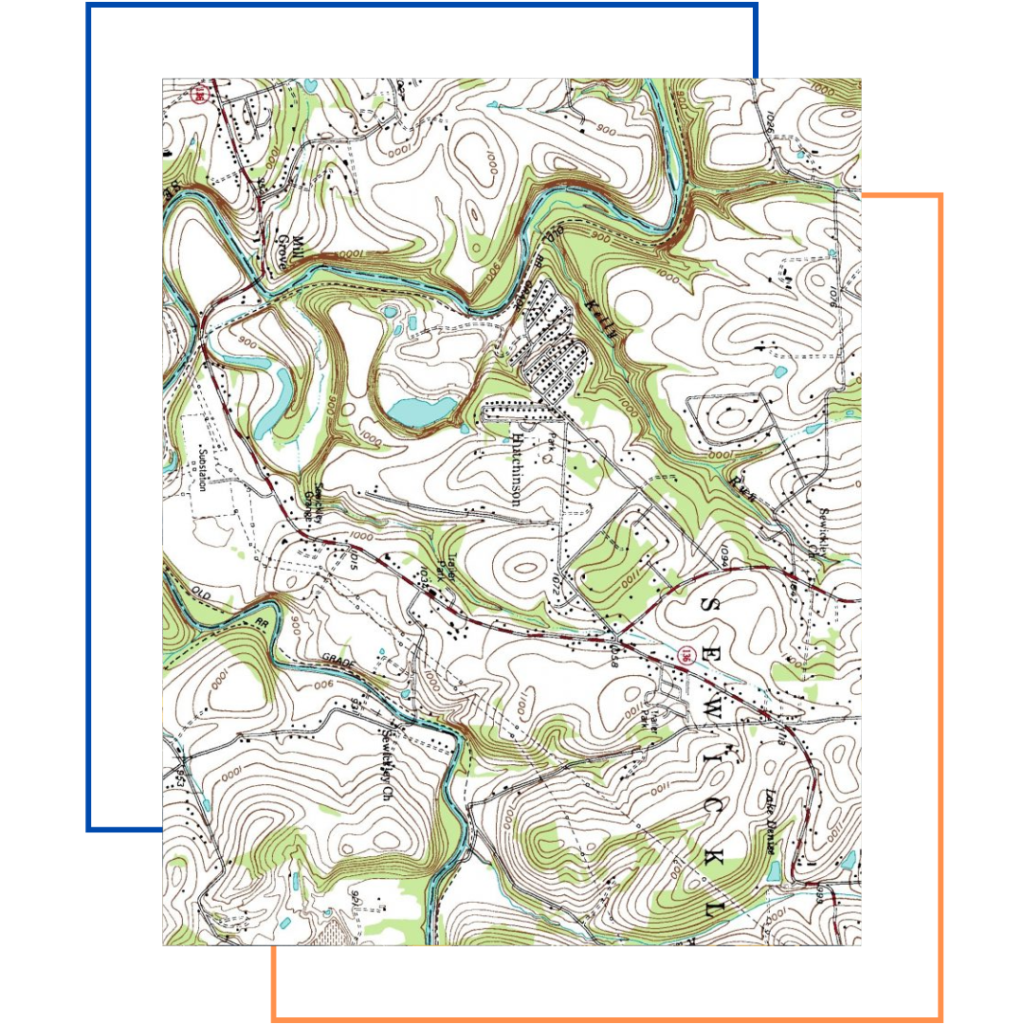
A topographic survey, also known as a topo survey, is a detailed map of a specific area of land. It shows the natural and man-made features of the land, including elevation changes, boundaries, and structures. Topographic surveys are used in many fields, including construction, engineering, and environmental management. It accurately measures and maps natural and man-made features within a specified land area. Surveyors focus on creating a detailed representation of the terrain, capturing hills, valleys, water bodies, and structures like buildings and roads.